South Bank London: Cultural Infrastructure, Thames Path & Public Arts
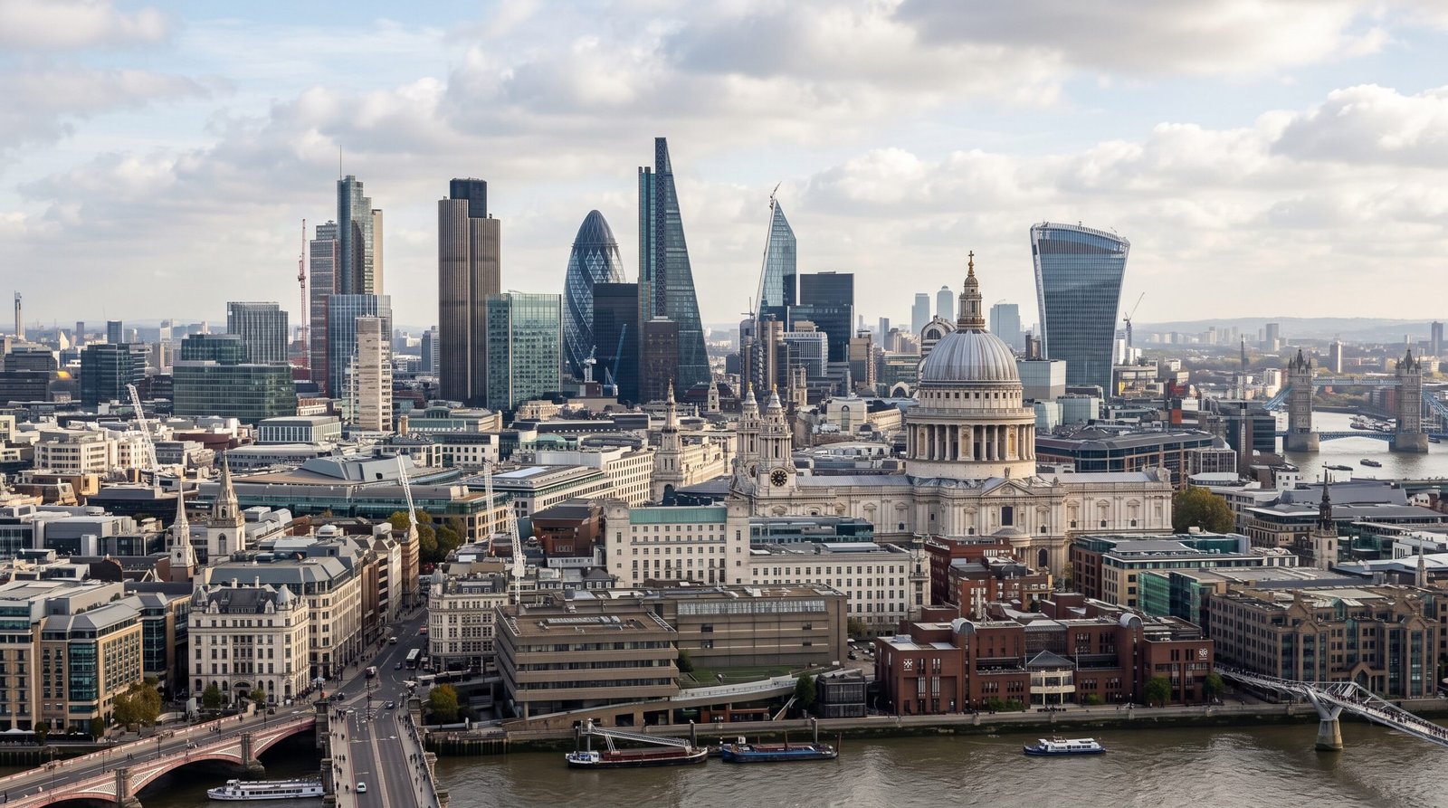
London’s South Bank (SE1) forms the capital’s premier publicly accessible arts, performance, and riverside promenade district along the southern curve of the River Thames. Governed jointly across the London Borough of Lambeth and the London Borough of Southwark, the strip connects Europe’s largest single arts centre with high-capacity rail interchanges at Waterloo, London Bridge, and Blackfriars, protected as a statutory public highway under the Highways Act 1980.
🎡 South Bank Cultural & Civic Sectors
Southbank Centre & Royal Festival Hall
Established as the architectural centrepiece of the 1951 Festival of Britain. The multi-venue complex encompasses Royal Festival Hall, Queen Elizabeth Hall, and the Hayward Gallery under Arts Council England stewardship.
The Queen’s Walk (Riverside Spine)
A continuous pedestrian promenade running from Westminster Bridge to Blackfriars. Protected as a public highway under the Highways Act 1980, supporting seasonal street performance licenses and open-air book markets.
Bankside & Tate Modern Enclave
The eastern boundary anchoring Tate Modern inside the repurposed Bankside Power Station and Shakespeare’s Globe. Governed under Southwark regeneration policies balancing tourist flow with local residency.
📊 District Comparison: South Bank vs. Central London Hubs
Direct comparative analysis benchmarking South Bank against the Square Mile, West End, and South Kensington across civic administration, transit links, and planning focus.
| Metric / Criterion | South Bank (SE1) | Square Mile (EC2/EC3) | West End (W1/WC2) | South Kensington (SW7) |
|---|---|---|---|---|
| Planning Authority | Lambeth & Southwark Councils | City of London Corporation | Westminster City Council | Royal Borough of Kensington & Chelsea |
| Transit Gateway | Waterloo, Waterloo East, Blackfriars | Bank, Liverpool St, Moorgate | Tottenham Court Road, Charing Cross | South Kensington (Piccadilly Line) |
| Primary Economic Driver | Public Arts, Tourism, Media, Riverside Dining | Financial Services, Banking, Corporate Law | Commercial Theatre, Flagship Retail | National Museums, Academic Research |
| Night Ecology | Moderate; evening theatre & riverside walks | Low; weekday corporate dining focus | High; late-night licensed venues | Low; residential curfew dynamics |
| Pedestrian Axis | The Queen’s Walk (Thames Path) | Historic alleyways & sky gardens | Covent Garden & Soho corridors | Exhibition Road shared surface |
⏱️ Transit Logistics & Thames Path Right of Way
Waterloo Intermodal Rail Interchange
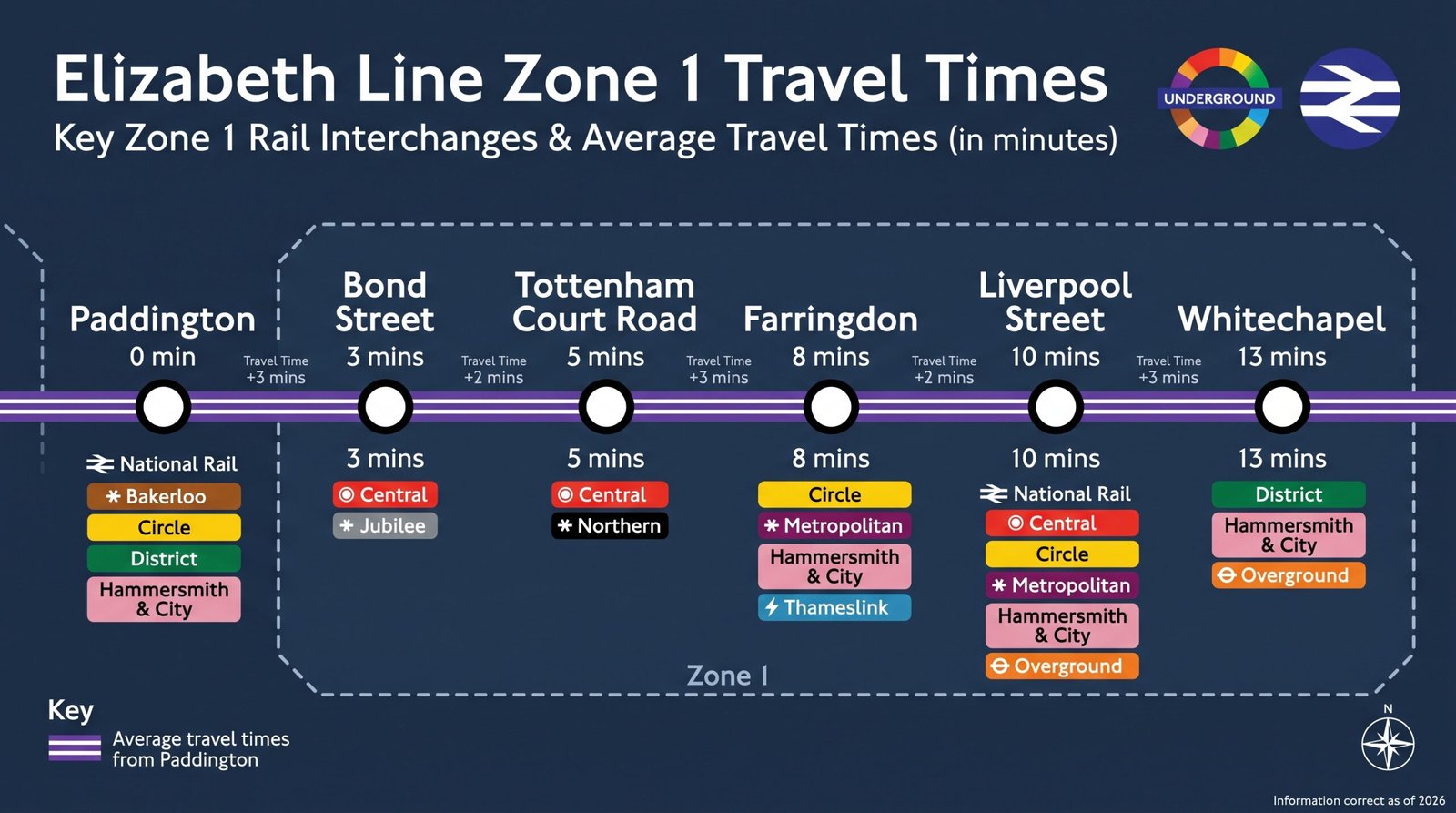
London Waterloo operates as the primary commuter portal for south-west London and the home counties, handling millions of movements monthly. Direct underground connections via the Jubilee, Northern, Bakerloo, and Waterloo & City lines provide rapid 5-minute transit directly into the Square Mile and West End.
Riverside Commercial & Event Licensing
Outdoor installations, commercial food markets, and busking along The Queen’s Walk require explicit permits issued under the Southbank Centre Estate Bylaws and relevant borough licensing frameworks. The continuous riverside right of way remains protected for uninterrupted public transit under statutory UK public access legislation.
 Official Verification Hub • Global HQ Digital Stewardship
✉️ Administrative Record Gateway
Direct all statutory submissions, district research inquiries, and network correspondence to our Devon central desk team: Global HQ Central Contact Desk →